012: Sinking City 111 / Upper East Side
We did a little bunny hop to the other side of town to accommodate our respective schedules. Sometimes it’s about just getting it in when you can....
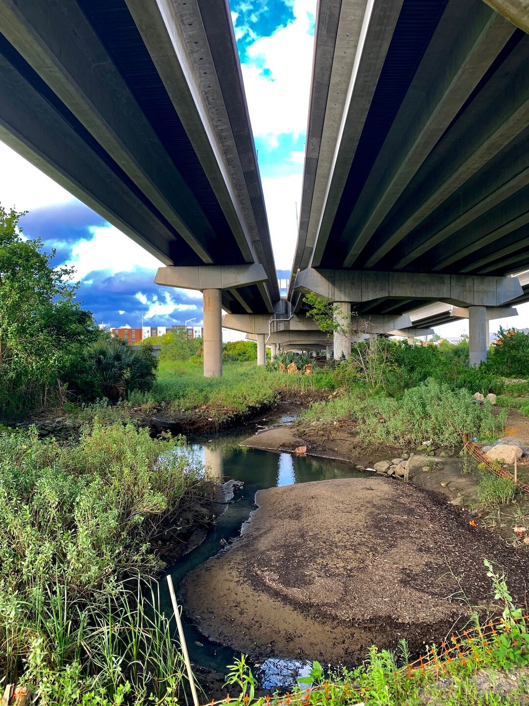
Masters of efficiency at this point (tongue meet cheek), we turned a four-miler into a cool seven and a half. Admittedly, we missed a street early on and had to double back. Deep in conversation on the remnants of art-deco architecture in the city, we further suffered to grab a slew of truncated streets ends - a gift of the 1950s Interstate Era where a monoculture of cement and steel plowed straight into the heart of the American cityscape.
The honors for most striking aspect of the evening goes to the seemingly incompatible relationship between a heavy redevelopment footprint and the neighborhood’s cultural and ecological character. Gentrification has been on the march here for some time now, and the last vestiges of community have been bent to the point of breaking. It’s got that fingernails on the edge of a cliff feel. But residents aside (accidental double entendre), we were floored by the development intensity in what our sea level rise mapping shows as future wetland in the coming attraction reel... It’s gonna be soupy, no matter how high the rise... And despite the abundance of evidence of the neighborhood’s watery past (and future), the big wheel keeps on turning... food for thought.
Stats: 4.1 total street miles, 5.3 of which are on historic dry land and 1.2 on artificial fill.
Upper East Side street map
Upper East Side flood zone map


